Antique Wall Maps
Best Wall Maps is proud to have the biggest choice popular historical maps and reproductions. We provide some of the most unique map styles to suit your home, office, or classroom. Add historical content from your favorite times through out history. Some maps are very colorful while others have subtle and faded tones. Get maps from around the world from railways to historical wars. We also have a wide variety of battle maps from the US.
All of our maps are completed with the high-end materials. All maps may be laminated and used with dry-erase markers or mounted on foam core, which allows you to apply map pins to mark the map. If you don’t see the map you’re searching out, our cartographers can make it for you.
Below are a few examples of the wide array we have available. Don’t see one your are looking for? Click HERE to view of the maps we offer!
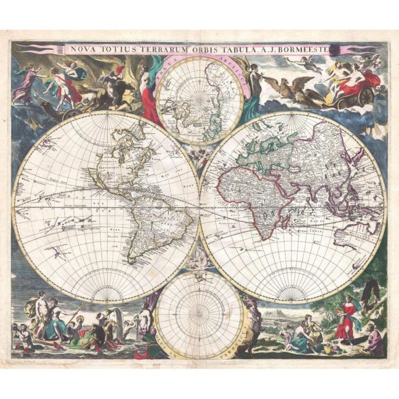
Bormeester Map of the World (1685)
1685 hemisphere map of the World by Dutch publisher Joachim Bormeester. The East and West hemispheres are depicted, with the North and South Poles shown above and below the main map.
Here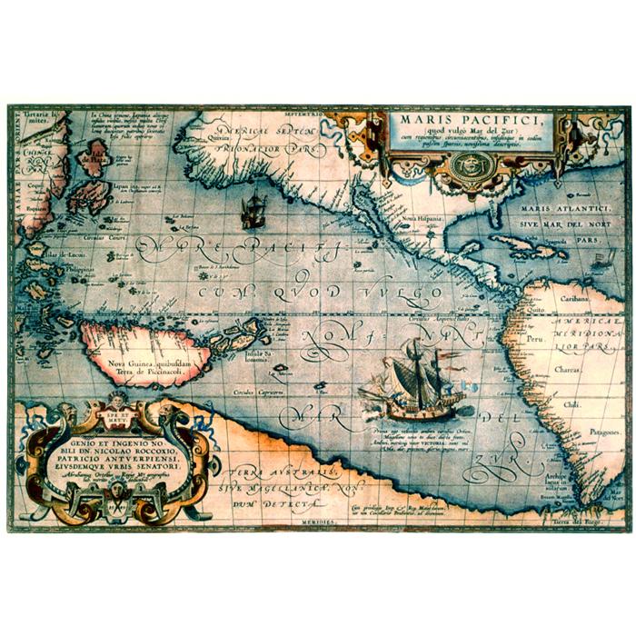
Pacific Ocean 1589
Its beauty matches its cartographic importance, for it is distinctively colored, features two elaborate cartouches, and includes a handsome vignette of Magellanês ship sailing westward.
Here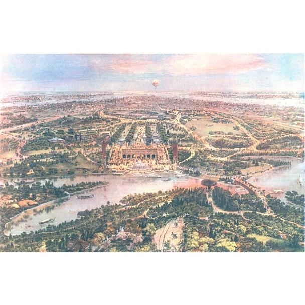
Central Park 1865
Central Park in New York City was the first great public park in the United States. This brightly colored view by John Bachmann is from the north, looking down on the lake, terrace, mall, and the other features that Frederick Law Olmsted and Calvert Vaux designed in 1856.
Here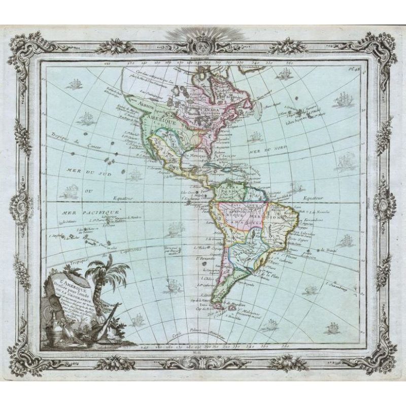
Brion de la Tour Map of America,
North America and South America (1764)
1764 map of North and South America by French geographer Louis Brion de la Tour.
Here